
Douglas County Assessor: Property Insights & Tax Guidance
What a Douglas County assessor does: parcel records, GIS maps, property valuation, and how an assessment becomes your property tax bill.
22 min read4,324 wordsZip Cost Ledger editorial
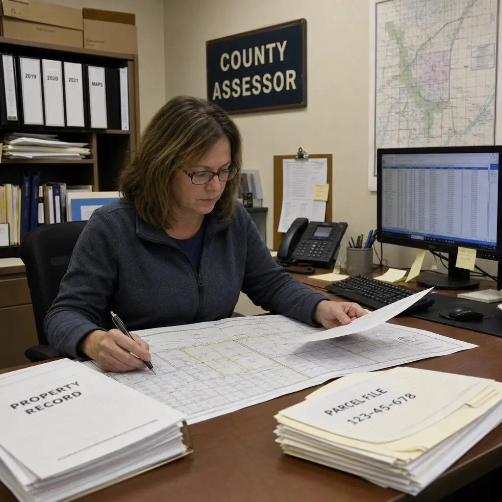
A county assessor helps turn property information into fair, usable public records. If you own, buy, sell, or research property in a Douglas County, the assessor’s office is often where you start for valuation details, parcel data, exemptions, maps, and assessment questions. Because several U.S. counties share the name Douglas County, the exact process depends on the state, but the core role is similar: identify property, estimate taxable value, maintain records, and support the property tax system.
What does the Douglas County Assessor do?
The Douglas County Assessor is responsible for valuing property and maintaining assessment records used in the local property tax process. The office generally does not create every tax rate or collect every payment; instead, it establishes or maintains assessed values, property classifications, parcel records, ownership information, and mapping data that other local offices and taxing districts use. In Douglas County, Oregon, for example, the assessor’s public access site states that its mission is to appraise property accurately and assist the tax office with timely tax collection and distribution. (appraisal.douglascountyor.gov)
That distinction matters. Many property owners search “douglas county assessor” because they want to know why a bill changed. The assessor’s value is only one part of the final bill. Taxing districts, levy rates, exemptions, classification rules, and state law can all affect what a property owner ultimately pays.
In practical terms, the assessor’s work usually touches five areas:
- Property identification: Keeping parcel numbers, situs addresses, maps, and ownership records organized.
- Valuation: Estimating the value of real property and, in some places, taxable personal property.
- Classification: Sorting property by use, such as residential, commercial, agricultural, vacant land, or personal property.
- Public records access: Offering property search tools, assessment notices, parcel cards, and mapping resources.
- Appeals support: Explaining assessment methods and helping owners understand how to review or challenge a value.
The office is part of a broader property tax system. For example, Georgia’s Department of Revenue explains that county Boards of Tax Assessors are responsible for property valuation assessments, while county Tax Commissioners are responsible for collecting ad valorem taxes. (dor.georgia.gov) That same separation appears in many states under different office names.
The assessor is not always the tax collector
One of the most common misunderstandings about property taxes is assuming the assessor controls the entire bill. The assessor often determines assessed value or maintains the assessment roll, but the final tax bill may involve several other offices. A treasurer, tax collector, tax commissioner, school district, city, fire district, or other local authority may influence the amount due.
Douglas County, Colorado, gives a clear example of this division. Its assessor materials explain that taxes are calculated by multiplying the assessor’s assessed value by the tax rate, while the Treasurer bills and collects property taxes based on values provided by the Assessor and mill levies set by taxing authorities. (douglasco.gov) In plain English, the assessor’s value is important, but it is not the only lever.
This is why two neighbors can have different tax bills even when their homes appear similar. One may have an exemption. One may sit in a different tax district. One may have a different property classification, improvement record, or assessed value history. The assessor can explain the property record and valuation basis, but other agencies may control the levy, billing schedule, or payment processing.
A useful way to think about the system is this:
- The assessor identifies and values the property.
- Taxing authorities set budgets or rates under state and local rules.
- The tax collector, treasurer, or tax commissioner sends and collects bills.
- The owner reviews records, exemptions, deadlines, and appeal rights.
That workflow is not identical everywhere, but it helps property owners ask the right office the right question.
Calculate your total cost of homeownership across different ZIP codes here
Why assessment records matter to property owners
Assessment records are more than bureaucratic files. They can affect tax bills, real estate decisions, estate planning, refinancing, insurance conversations, development research, and neighborhood comparisons. A property record may include land size, building size, year built, property class, improvement details, sales history, maps, and taxable value information.
For homeowners, the first reason to review the record is accuracy. If the assessor’s property card lists the wrong square footage, structure type, land use, or improvement details, it may affect the assessed value. Not every data issue changes a tax bill, but obvious discrepancies are worth asking about as early as possible.
For buyers, assessor data can provide context before making an offer. It may show the current assessed value, prior sales, parcel boundaries, or whether the property appears in a particular tax district. It should not replace a professional appraisal, title search, survey, or legal review, but it can help you ask sharper questions.
For investors and business owners, assessor records may reveal patterns across parcels. Looking at land classifications, improvement values, and neighborhood sales can help with due diligence. A Douglas County GIS map or assessor search tool can also help users visualize where a parcel sits in relation to roads, districts, zoning layers, or nearby development.
How property value becomes part of a tax bill
The property tax process begins with a value, but it rarely ends there. Depending on the state, the assessor may estimate market value, assessed value, taxable value, or several related figures. The terms can look similar, yet they may mean different things under state law.
A simplified property tax calculation often works like this:
- Property details are reviewed. The office verifies parcel boundaries, use, buildings, ownership records, and other data.
- A value is assigned. The assessor applies the relevant appraisal method and state rules.
- Exemptions or adjustments are applied. Homestead, senior, veteran, agricultural, nonprofit, or other programs may reduce taxable value if the owner qualifies.
- Tax rates or mill levies are applied. Local taxing districts use rates approved through state and local processes.
- The bill is issued by the collecting office. The treasurer, tax collector, or tax commissioner typically handles payment.
The details vary widely. Colorado uses mill levies and assessment percentages. Georgia uses fair market value, assessed value, exemptions, and millage rates. Oregon has its own constitutional and statutory structure, including concepts that may differ from a simple market-value-only system. Because of those differences, national calculators can be useful for rough orientation but unreliable for exact property tax planning.
When people search for “douglas county ga property tax,” they are often looking for a bill amount, due date, assessment notice, or homestead exemption detail. In Douglas County, Georgia, the Tax Commissioner’s site identifies property tax payment, assessment notice, exemption, delinquent tax, and property information resources as key services. (douglastax.org) Meanwhile, the Appraisal Department provides assessment and appeal information, which is a separate but connected function. (douglascountyga.gov)
Using the Douglas County GIS map effectively
A Douglas County GIS map is one of the most useful tools for understanding property visually. GIS stands for Geographic Information Systems, and it connects map features with data. Instead of reading only a parcel number or legal description, you can see the property on a map, review layers, and sometimes click through to assessment information.
Douglas County, Oregon’s GIS page explains that the county has collected digital data since the late 1980s and originally focused on automating assessment mapping and improving how a common base could be updated and shared. The same page cautions that GIS data is a work in progress and that map information is provided for convenience rather than as a legal substitute for official records. (douglascountyor.gov) That caveat is important for every county map user: GIS is helpful, but it is not the same as a boundary survey.
The Oregon map help page also describes practical functions such as panning, zooming, clicking features for pop-ups, changing basemaps, using parcel search, and accessing links from parcel data to taxlot information, plat maps, survey maps, aerial imagery, and related resources. (douglascountyor.gov) Those tools can save a trip to the office, especially when you are only trying to confirm a parcel’s general location or identify the correct account.
A good GIS workflow looks like this:
- Start with a specific search term. Use the property address, owner name, parcel number, map-tax-lot number, or account number if available.
- Confirm you selected the right parcel. Similar street names, rural routes, unit numbers, and vacant parcels can cause confusion.
- Turn on only the layers you need. Too many layers can make a map hard to read.
- Check the source and date. GIS layers may update on different schedules.
- Use GIS as a guide, not final proof. For legal boundaries, easements, encroachments, or title concerns, consult the appropriate professional.
Records you can usually find through an assessor search
Most modern assessor offices provide online property search tools, although the amount of public information varies. Some counties show detailed building characteristics, while others provide only basic parcel and value information. Privacy rules, state law, and local policy can also affect what appears online.
Common searchable fields include:
- Owner name, depending on local privacy rules
- Property address or situs address
- Mailing address
- Parcel number, account number, or map-tax-lot number
- Legal description or subdivision
- Property class or land use
- Land value and improvement value
- Total assessed or taxable value
- Sales history
- Exemption status
- Tax district or code area
- Links to maps, plats, or survey resources
Douglas County, Colorado’s assessor site highlights tools such as property search, sales search, appeal options, forms, advanced search, a real property map viewer, and publicly available data offerings. (douglasco.gov) Douglas County, Georgia’s GIS page describes an interactive property information resource that includes ownership, taxes, and zoning information. (douglascountyga.gov) These examples show why the assessor’s office is often the starting point for property research even when another department handles the final tax bill.
However, public records should be read carefully. A parcel card is not a home inspection. A GIS boundary is not automatically a survey line. An assessed value is not always the same as current market value. A tax estimate is not always the same as a future bill.
When should you contact the Douglas County Assessor Office?
You should contact the Douglas County Assessor Office when you need help understanding a property record, assessed value, ownership update, map reference, exemption process, or assessment appeal. Contacting the office early is especially important after receiving an assessment notice, buying property, changing a mailing address, adding improvements, or discovering a possible data error.
The best reason to call is not simply “my taxes are too high.” A more productive question is specific: “Can you explain how this value was determined?” or “Can you help me review the property characteristics used for this assessment?” Assessor staff can usually explain what information is in the record, what deadlines apply, and which forms or departments are involved.
You may want to reach out if:
- Your assessment notice shows a value you do not understand.
- Your property record lists incorrect building, land, or ownership information.
- You recently bought a home and want to understand exemption deadlines.
- You changed your mailing address and need future notices sent correctly.
- You believe your property is classified incorrectly.
- You need a parcel map, plat reference, or property identification number.
- You are preparing an appeal and need to know the accepted process.
- You are researching personal property reporting requirements for a business.
Douglas County, Oregon’s public access page lists separate contact information for the Assessor’s Office and Tax Office, which is a helpful reminder that value questions and payment questions may go to different places. (appraisal.douglascountyor.gov) Douglas County, Georgia’s Appraisal page likewise provides assessment notice and appeal details through the appraisal function, while the Tax Commissioner site handles property tax payment and related collection services. (douglascountyga.gov)
Preparing before you call or visit
A short preparation step can make any assessor conversation easier. County offices handle many parcels and many deadlines, so precise information helps staff find the right record quickly. It also reduces the chance that you receive information about a similarly named road, subdivision, or owner.
Before contacting the assessor, gather:
- The property address
- Parcel number, account number, or map-tax-lot number
- Owner name as shown on the notice or deed
- Mailing address on file
- A copy of the assessment notice or tax bill
- Recent sale documents, if relevant
- Photos or documents showing a suspected record error
- Prior correspondence from the county
- Any exemption or appeal forms you have already submitted
If you are not the owner, be prepared for limits on what staff can discuss. Some counties may require written authorization before discussing certain details or accepting filings from a representative. Douglas County, Georgia’s appraisal instructions for 2026 stated that representatives filing an appeal needed to provide a letter of authorization, and the office warned property owners to file early because the deadline could not be extended due to system issues. (douglascountyga.gov)
For in-person visits, check current office hours before you go. Office schedules, lunch closures, holiday closures, and appointment rules can change. Online portals can also be unavailable near deadlines if many users are trying to file at once, so early action is not just polite advice; it can protect your rights.
Assessment notices deserve careful attention
An assessment notice is not always a bill. It often tells you what value the county has placed on your property and how to appeal if you disagree. The notice may also show classification, exemption information, tax district details, or other data that feeds into the final property tax calculation.
The most important parts to review are:
- Owner and mailing information: Make sure notices are going to the right person and address.
- Property identification: Confirm the parcel number, address, and legal description match your property.
- Value changes: Compare the new value with prior years and with the property’s current condition.
- Land and improvement details: Look for obvious errors in acreage, building size, use, or structures.
- Exemption status: Verify that eligible exemptions appear as expected.
- Appeal deadline: Mark the date immediately and do not wait until the final day.
Douglas County, Georgia’s 2026 Appraisal page said annual assessment notices were mailed on June 16, 2026, with an appeal deadline of July 31, 2026 at 11:59 p.m. (douglascountyga.gov) Because those dates were specific to that jurisdiction and year, they should not be assumed for another Douglas County or another tax cycle. Always use the date printed on your own notice or the current official county page.
If you disagree with a value, focus your review on evidence. Useful evidence may include recent comparable sales, documentation of physical problems, incorrect record details, independent appraisals, or photos. Emotional frustration is understandable, but appeal boards and assessor staff generally need facts tied to value, classification, or legal eligibility.
The appeals process is about evidence, not guesswork
A property assessment appeal is usually a structured request for review. The purpose is not to negotiate a bill in the abstract; it is to evaluate whether the assessment is accurate under the rules that apply in that jurisdiction. A strong appeal is organized, timely, and specific.
Start by asking what you are challenging. Are you disputing market value, classification, exemption denial, property characteristics, or a clerical issue? Each type of challenge may require different evidence and may follow a different process.
A practical appeal checklist includes:
- Read the full notice before filing.
- Confirm the appeal deadline and accepted filing methods.
- Review the property record for factual errors.
- Gather comparable sales that match the property’s location, size, age, condition, and use as closely as possible.
- Document condition issues that would affect value.
- Keep copies of everything submitted.
- Ask whether informal review is available before a formal hearing.
- Attend scheduled hearings or respond promptly to county requests.
Douglas County, Oregon’s Property Value Appeals Board page explains that Oregon has an ad valorem property tax system based on the value established by the County Assessor and notes that the Assessor Office may be able to help owners understand the basis for value or make some changes without requiring an appeal. (douglascountyor.gov) That is a useful general lesson: contact the office early, because some issues may be explainable or correctable before a formal dispute becomes necessary.
How Douglas County, Oregon differs from Douglas County, Georgia and others
The phrase “douglas county assessor” can point to different places. There is a Douglas County in Oregon, Georgia, Colorado, Nebraska, Nevada, Kansas, Minnesota, Missouri, South Dakota, Washington, Wisconsin, and other states or historical contexts. Each state has its own property tax laws, terminology, deadlines, exemption programs, and office structure.
That means a search result for one Douglas County can be misleading if you live in another. “Douglas County assessor office” in Roseburg, Oregon, is not the same as the appraisal office in Douglasville, Georgia, or the assessor in Castle Rock, Colorado. The names may overlap, but the rules do not.
Here are a few examples of how the terminology can differ:
- Oregon: You may see map-tax-lot numbers, code rates, assessment roll data, and Oregon-specific value concepts.
- Georgia: You may see Board of Tax Assessors, Appraisal Department, Tax Commissioner, assessment notices, homestead exemptions, and millage rates.
- Colorado: You may see assessor values, mill levies, assessment percentages, taxing authorities, and County Board of Equalization appeal processes.
- Nebraska: You may see county assessor and register of deeds functions, parcel search tools, and state Department of Revenue property assessment resources.
Nebraska’s Department of Revenue county assessor list, for example, identifies the Douglas County Assessor in Omaha and links to parcel search and treasurer resources. (revenue.nebraska.gov) That is a completely different office from Douglas County, Oregon or Douglas County, Georgia, even though the search phrase may look nearly identical.
When researching online, always verify:
- The state abbreviation
- The county website domain or official state directory
- The office name and address
- The assessment year
- The appeal deadline
- Whether you are viewing assessor, treasurer, tax commissioner, or GIS information
Understanding calculators and tax estimates
Online calculators can be useful, but they can also create false confidence. A calculator is only as accurate as the data and assumptions behind it. For property taxes, the right inputs may include assessed value, taxable value, exemptions, levy rates, tax district, property class, and current-year rules.
People often search for terms like “idaho tax calculator” or “california tax rate calculator” while trying to compare tax burdens across states. That can be a helpful starting point, but state tax systems are not interchangeable. Idaho’s State Tax Commission has promoted a property tax estimator for participating counties, but its own release described it as available for residents in specific participating Idaho counties at that time. (tax.idaho.gov) A calculator built for Idaho property taxes will not explain Douglas County, Georgia millage rates or Douglas County, Oregon assessment rules.
California tax tools can also be misunderstood. The California Department of Tax and Fee Administration explains that California sales and use tax rates vary by retail location and include a statewide base rate plus local or district taxes in many areas. (cdtfa.ca.gov) A California tax rate calculator may be useful for sales and use tax questions, but it does not replace a county assessor’s property valuation record.
The safest approach is to use calculators for estimates and official county records for decisions. If you are budgeting for a purchase, ask whether the current tax bill reflects the prior owner’s exemptions, an older assessed value, or a tax district that may change after transfer or development.
Sales tax searches can distract from property tax questions
Searches for “oregon sales tax rate” often appear near property tax research because people are comparing states. Oregon is unusual because the Oregon Department of Revenue states that Oregon does not have a general sales or use/transaction tax, although it does have vehicle-related taxes in certain situations. (oregon.gov) That fact matters for overall cost-of-living comparisons, but it does not mean Oregon property owners avoid property taxes.
Sales tax and property tax are different systems. Sales tax generally applies to taxable purchases. Property tax applies to real estate or certain property interests according to local and state rules. A state may have no general sales tax but still rely on income taxes, property taxes, fees, or other revenue sources.
For a property owner in Douglas County, Oregon, the relevant question is not only “what is the Oregon sales tax rate?” It is also “what is my property’s assessed value, what tax code area applies, and what exemptions or limitations affect this parcel?” The assessor and tax office are better sources for those answers than a generic sales tax calculator.
Likewise, if you are comparing Oregon with California, be careful not to mix systems. California’s sales and use tax rules involve state, local, and district components, while property tax assessment follows a separate set of laws and county processes. (cdtfa.ca.gov) The right tool depends on the tax you are trying to understand.
Reading a property record without getting lost
A property record can feel dense the first time you open it. The key is to read it in layers rather than trying to understand every line at once. Start with identity, then value, then exemptions, then history.
First, confirm the parcel. Check the situs address, parcel number, map reference, subdivision, and owner name. If the property is vacant or rural, the address may not be enough, so use the parcel ID or legal description.
Second, review the land and improvement sections. Look for acreage, lot size, building type, year built, finished area, outbuildings, and other characteristics. If something appears wrong, take screenshots or download the record and note the specific item.
Third, compare value categories. Many records break value into land, improvements, total market value, assessed value, and taxable value. These may not all mean the same thing. State limits, exemptions, assessment ratios, or special programs can produce differences.
Fourth, look at tax district information. A property inside a city, fire district, school district, library district, or special district may have a different bill from a similar property outside that boundary. GIS layers can help visualize those district lines, but the tax statement or official assessment record should guide final decisions.
Finally, check historical values and sales. A sudden change may have a clear explanation, such as a recent sale, new construction, reappraisal cycle, exemption change, or corrected property record. If the explanation is not clear, that is a good reason to contact the assessor.
Common mistakes property owners make
Most assessor-related problems come from waiting too long, using the wrong office, or relying on incomplete information. A few habits can prevent headaches.
Avoid these mistakes:
- Ignoring assessment notices. Even if the final bill comes later, the appeal window may begin with the notice.
- Assuming the assessor collects taxes. Payment questions may belong to the treasurer, tax office, or Tax Commissioner.
- Using the wrong Douglas County site. Always confirm the state and official county domain.
- Treating GIS boundaries as a survey. GIS is useful, but legal boundary questions require proper records or professionals.
- Comparing unlike properties. A smaller home in a different district may not be a valid comparable.
- Forgetting exemptions. Homestead, senior, veteran, agricultural, and other programs often require timely applications.
- Waiting until the last day to appeal. Portals can be busy, documents may be missing, and offices may close before you expect.
- Assuming last year’s tax bill predicts next year’s bill. New values, rate changes, exemptions, and ownership changes can all alter the result.
If you are buying property, ask the seller, agent, escrow officer, or closing professional how taxes are prorated and whether exemptions will continue after the sale. Many buyers are surprised when a future bill changes because the prior owner’s exemption no longer applies.
A practical workflow for researching a Douglas County property
Whether you are a homeowner, buyer, investor, or researcher, a repeatable workflow helps. The goal is to move from general information to official records to direct confirmation.
Use this process:
- Identify the correct county and state. Search with the state name, not just “Douglas County.”
- Find the official assessor or appraisal site. Use county government pages or state directories when possible.
- Search the parcel. Use address, parcel number, owner name, or map-tax-lot number.
- Open the property record. Review ownership, classification, values, building details, exemptions, and tax district.
- Check the GIS map. Confirm location, surrounding parcels, district layers, and map references.
- Review tax collector information. If you need bills, due dates, payments, or delinquency information, go to the correct collecting office.
- Compare carefully. Use similar properties in the same area and same class when evaluating value.
- Save documents. Download notices, parcel cards, maps, and receipts for your records.
- Contact the office early. Ask specific questions before deadlines approach.
This workflow helps keep research clean. It also prevents the common problem of finding a real tax rate, exemption rule, or GIS layer from a different state and applying it to the wrong property.
The bigger value of the assessor’s work
The assessor’s work supports more than individual tax bills. Accurate assessment records help local governments fund services, help buyers and lenders understand property, help planners analyze land use, and help residents verify public information. When assessment records are clear and accessible, the whole property system becomes easier to navigate.
That does not mean every value will feel right to every owner. Property taxes are personal because they affect household budgets and business costs. But understanding the assessor’s role makes the process less mysterious. You can separate valuation questions from rate questions, map questions from title questions, and estimate questions from official notices.
For most property owners, the best strategy is simple: review your record every year, keep your mailing address current, learn your exemption options, and act quickly when a notice arrives. If something looks wrong, contact the Douglas County Assessor Office for the county and state where the property is located. Clear questions, timely action, and good documentation are the easiest ways to protect yourself in any property tax system.
Related guides
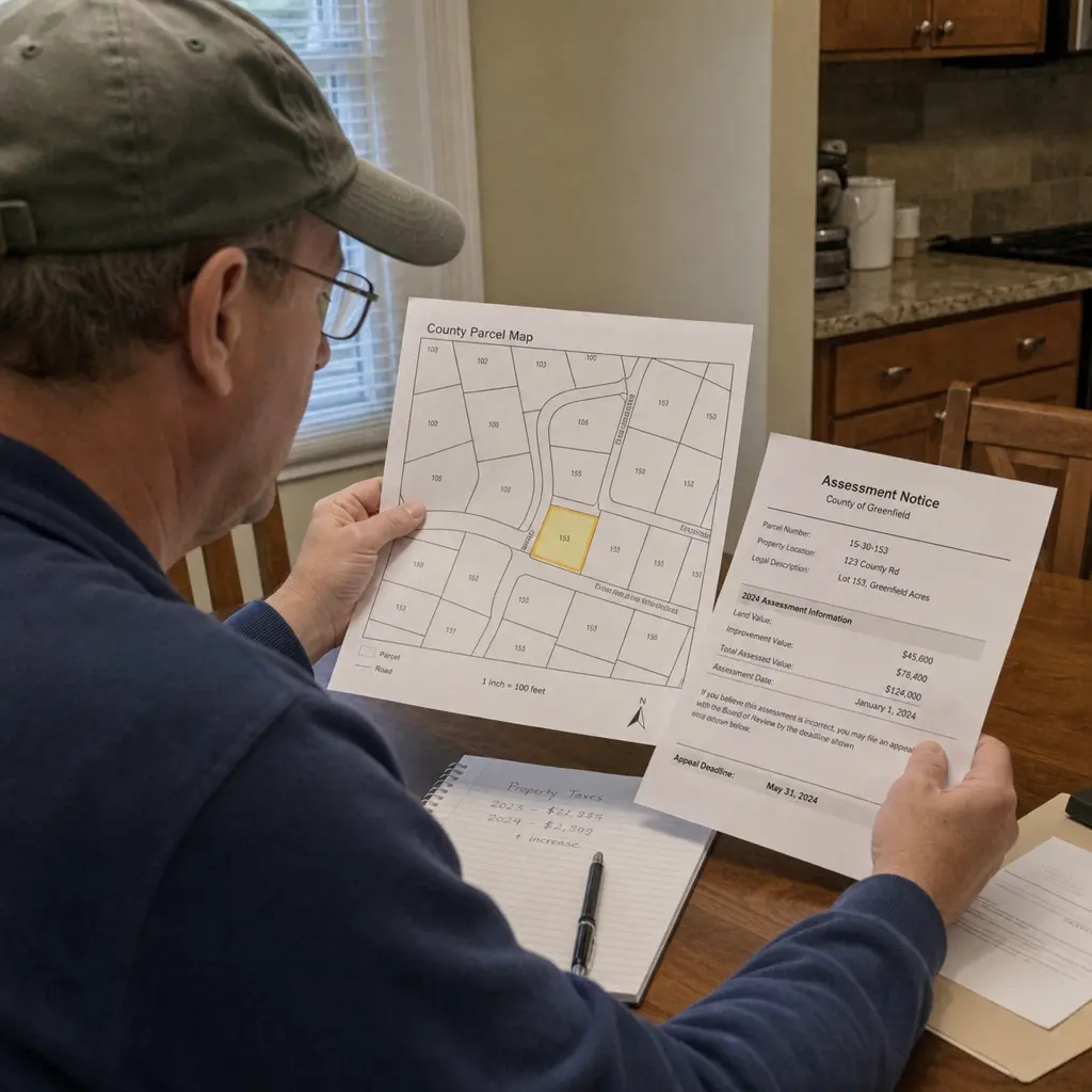
Douglas County Assessor: Property & Tax Insights
Property assessments can feel confusing, especially when a home value, tax notice, or parcel record changes and you are not sure why. This guide explains how Douglas County property assessments generally work, how to use public records and mapping tools, and what to review if your valuation or property tax bill does not look right. Think of it as a practical starting point for understanding the role of the assessor, reading your records, and preparing better questions before you contact a county office.
· 10 min read
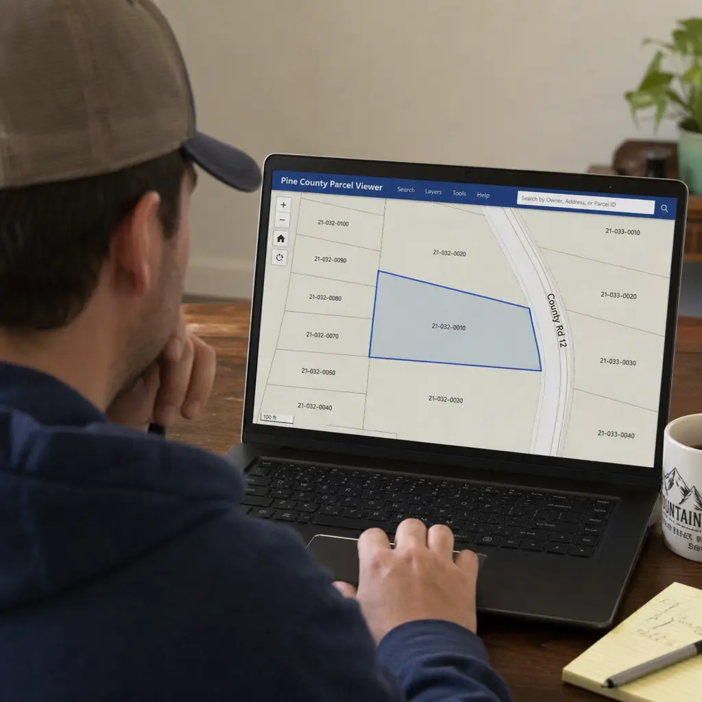
What can you do with Adams County GIS Colorado resources?
Explore the Adams County GIS Colorado resources to understand property boundaries, floodplain data, and more through interactive maps. Enhance your land research with this comprehensive guide.
· 29 min read
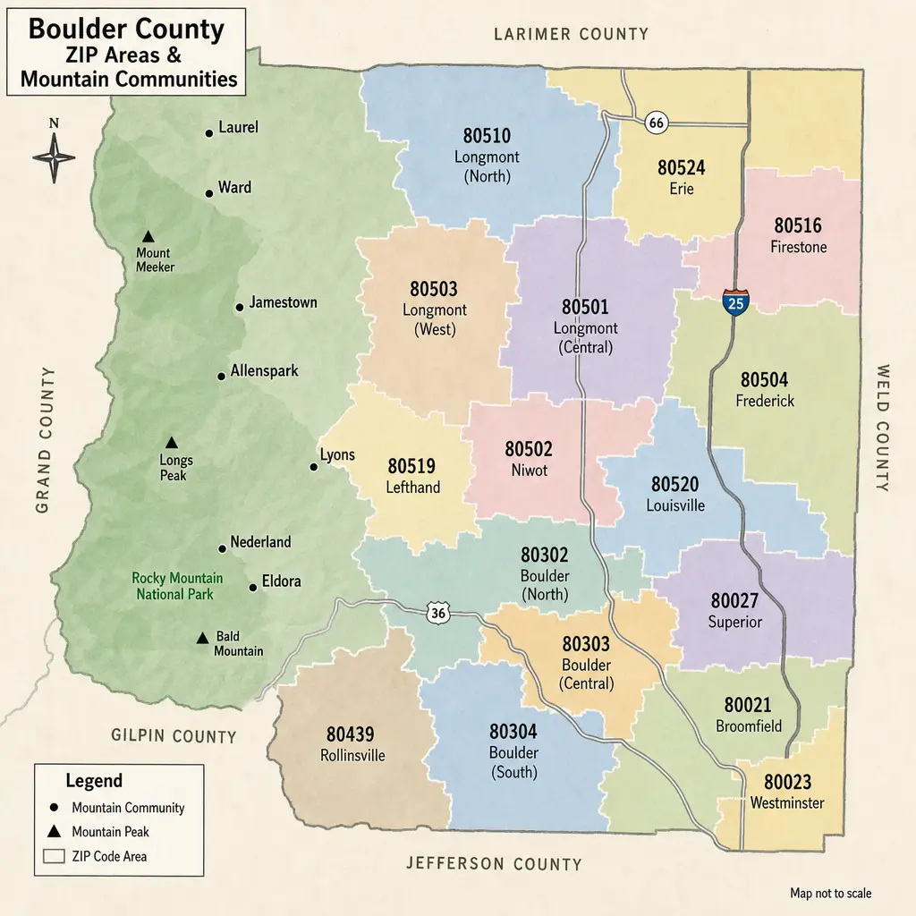
Boulder County Property Tax Guide: Rates & Hazards by ZIP
Boulder County property taxes can look different from one ZIP code to the next, but ZIP codes are only a starting point. The real bill is driven by a property’s actual value, Colorado assessment rules, and the specific school, city, fire, library, water, and special districts tied to that parcel. This guide explains how to read Boulder County taxes by area, how hazard considerations fit into the picture, and what to check before buying, budgeting, or comparing homes.
· 9 min read