
Burleigh County Property Tax & Hazard Guide by ZIP
How property tax rates are set across Burleigh County, North Dakota by ZIP code, and the hazard exposure to weigh before you buy.
7 min read1,496 wordsZip Cost Ledger editorial
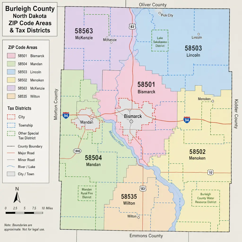
Burleigh County property tax is based on property value, taxable classification, and the mill levies assigned to the property’s taxing district—not simply on the ZIP code printed in the mailing address. For homeowners, buyers, and investors comparing Burleigh County, North Dakota — property tax and hazard by ZIP code, the smartest approach is to use ZIP codes as a starting point, then confirm the parcel’s city, township, school district, special assessments, and local hazard context.
Map-style view of Burleigh County ZIP code areas and tax districts
How are Burleigh County property tax rates calculated?
Burleigh County property tax rates are calculated by applying the total mill levy for a parcel’s taxing district to that parcel’s taxable value. In North Dakota, assessed value is 50% of market value, and residential taxable value is 9% of assessed value; commercial and agricultural taxable value is generally 10% of assessed value. One mill equals .001, so a total mill levy of 237.10 is applied as 0.23710 to taxable value. (burleigh.gov)
That sounds technical, but the basic flow is manageable:
- Start with the property’s true and full value, often understood as market value.
- Multiply by 50% to get assessed value.
- Apply the correct taxable percentage for the property type.
- Multiply taxable value by the total mill rate for the property’s taxing district.
- Add any special assessments, then account for applicable credits, discounts, or penalties.
For example, a $300,000 residential property has an assessed value of $150,000 and a taxable value of $13,500. If that property were in the 2025 Bismarck taxing district with a total levy of 237.10 mills, the levy portion would be about $3,200.85 before special assessments, credits, or discounts. This is why two properties with similar market values can have different Burleigh County taxes if they sit in different school, park, fire, city, or township districts. (burleigh.gov)
The pieces that make up a tax bill
A Burleigh County property tax statement is not one single “county tax.” The county prepares, collects, and distributes tax dollars, but the statement can include levies for multiple governing bodies, such as the county, city, township, school district, park district, fire district, library, state, and other special-purpose entities. Burleigh County notes that, in Bismarck, less than 13% of the total tax bill is controlled by the County. (burleigh.gov)
This matters because property tax rates can change even when the county’s own portion does not change much. A school levy, municipal levy, park district levy, or special assessment can affect the final amount due. When people compare north dakota property tax between neighborhoods, the total mill levy is usually more useful than a countywide average.
Special assessments deserve separate attention. Burleigh County explains that special assessments are tied to specific improvements, such as street, sidewalk, water, or sewer projects, and they may be paid over a period of years. They appear on the tax statement but are different from the consolidated tax created by multiplying taxable value by the mill levy. (burleigh.gov)
Why ZIP code taxes can be misleading
ZIP code taxes are useful for early research, but ZIP codes do not determine the final property tax rate by themselves. A ZIP code can cross city, township, school district, fire district, or rural service boundaries. That means a “tax by zip” estimate may be directionally helpful but still miss the exact rate for a specific parcel.
Burleigh County’s ZIP code map includes Bismarck ZIPs such as 58501, 58503, 58504, and 58505, along with other north dakota zip codes and postal communities including Baldwin, Menoken, McKenzie, Moffit, Braddock, Driscoll, Sterling, Wilton, Regan, Wing, and Arena. The county map is helpful for orientation, but it also reinforces why parcel-level confirmation matters: postal areas and taxing districts are not the same thing. (burleigh.gov)
A practical way to use ZIP code research is to narrow the search area first, then verify the parcel. For instance, a buyer comparing homes in 58503 and 58504 should not assume one ZIP is automatically “higher tax” than the other. The parcel’s exact taxing district and assessed value are what drive the bill.
What should property owners check before comparing rates?
Property owners should check the parcel’s true and full value, property classification, total mill levy, special assessments, and tax district before comparing Burleigh County property tax rates. If any of those inputs are missing, the comparison can be incomplete or misleading.
Use this checklist when reviewing burleigh county taxes:
- Confirm the parcel location. Do not rely only on the mailing address or ZIP code.
- Review the assessed value. A rising market value can increase the bill even if the mill rate stays flat.
- Identify the full taxing district. City, township, school, fire, park, and library levies can all matter.
- Look for special assessments. These can make two similar homes with similar mill rates produce different total bills.
- Check payment timing. North Dakota property tax for real property is due January 1 after the assessment year and is payable without penalty until March 1; a 5% discount is allowed when paid in full by February 15. (tax.nd.gov)
- Verify the correct tax year. Burleigh County’s 2025 levy sheet states that 2025 taxes become due January 1, 2026, and delinquent March 1, 2026. (burleigh.gov)
This checklist is especially helpful for buyers, because listing descriptions rarely show the full tax story. A previous owner’s exemptions, special assessments, or valuation history may not match what the next owner experiences.
Local examples show why district details matter
The 2025 Burleigh County levy sheet shows a wide range of total mills by taxing district. Bismarck is listed at 237.10 total mills, Lincoln at 227.55, Regan at 272.08, Wing at 204.52, and South Wilton at 274.74, while many rural township districts show lower or different totals depending on school, fire, ambulance, township, and other levy combinations. (burleigh.gov)
Those numbers should not be read as a simple ranking of “cheap” or “expensive” places to live. Property value, special assessments, service levels, school district boundaries, and local budgets all influence the final bill. A lower mill levy on a much higher-valued property may still produce a larger annual tax bill than a higher levy on a lower-valued property.
For investors and relocation-minded buyers, the lesson is simple: compare complete tax scenarios, not isolated rates. A parcel-level estimate gives a clearer view than a broad ZIP code average, especially in a county with both urban Bismarck parcels and rural township properties.
How do hazard risks fit into ZIP code research?
Hazard risk is worth reviewing alongside property tax, but it should not be confused with the property tax rate. FEMA’s National Risk Index provides natural hazard risk data at county and Census tract levels, not as a replacement for parcel research or insurance underwriting. It is designed for planning and broad comparison across hazards, expected annual loss, social vulnerability, and community resilience. (catalog.data.gov)
Burleigh County also maintains a Multi-Hazard Mitigation Plan through Emergency Management. The current plan was FEMA-approved on April 29, 2026, and is valid through April 28, 2031, according to the county. (burleigh.gov)
When people search for Burleigh County, North Dakota — property tax and hazard by ZIP code, they are often trying to answer two separate questions at once: “What will this property cost to own?” and “What risks should I understand before buying?” Both are important, but they use different data sources.
A practical hazard review may include:
- Checking FEMA or local flood resources for floodplain context.
- Reviewing county emergency management materials for local mitigation planning.
- Asking an insurance professional how location affects coverage and premiums.
- Looking at parcel-specific elevation, drainage, access, and nearby infrastructure.
- Avoiding assumptions based only on ZIP code boundaries.
Smart ways to compare Burleigh County properties
The best comparison starts with the exact parcel, then expands outward. Begin with the property record and tax statement, note the current assessed value, and identify the total mills for that district. Then compare similar properties in the same or nearby districts to understand whether the tax burden is driven by value, mill rate, special assessments, or all three.
If you are comparing neighborhoods, keep the language precise. “North Dakota property tax” is a broad subject, “Burleigh County property tax” narrows it, and “tax by zip” narrows it only geographically. The most accurate layer is still the parcel’s taxing district.
For homeowners, this approach also helps with budgeting. A mortgage payment estimate that includes only principal and interest can feel affordable until taxes, insurance, and assessments are added. Reviewing the mill levy and special assessments early makes the total monthly cost clearer.
Key takeaway
Burleigh County property tax rates depend on taxable value and the combined mill levy for the property’s exact taxing district. ZIP codes can help organize a search, but they are not precise enough to determine the final tax bill or the full hazard picture. For the clearest answer, verify the parcel, review the current levy sheet, check for special assessments, and consider hazard information as a separate part of ownership due diligence.
Related guides
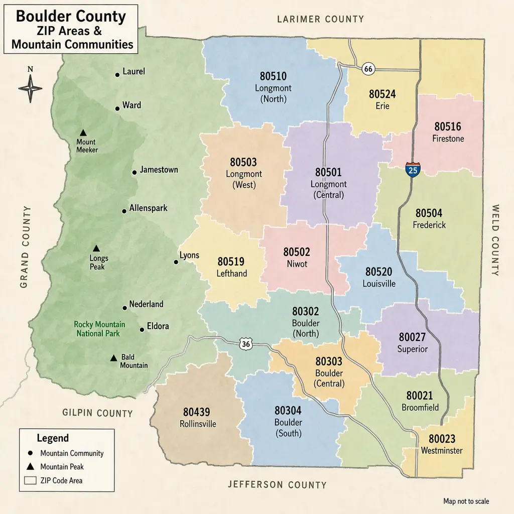
Boulder County Property Tax Guide: Rates & Hazards by ZIP
Boulder County property taxes can look different from one ZIP code to the next, but ZIP codes are only a starting point. The real bill is driven by a property’s actual value, Colorado assessment rules, and the specific school, city, fire, library, water, and special districts tied to that parcel. This guide explains how to read Boulder County taxes by area, how hazard considerations fit into the picture, and what to check before buying, budgeting, or comparing homes.
· 9 min read
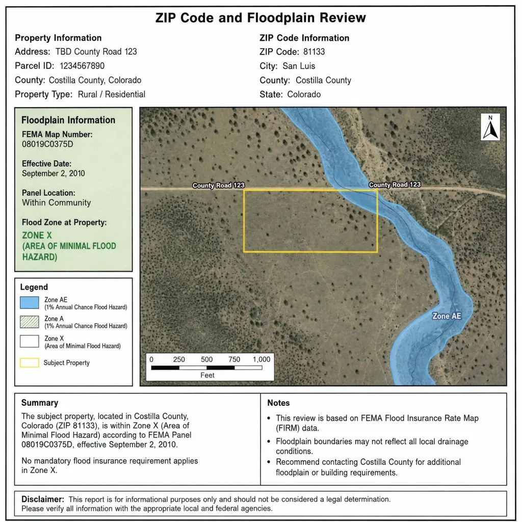
Morgan County Property Tax & Hazard Guide: ZIP Code Insights
Property taxes in Morgan County, Colorado are shaped by your property’s actual value, its state-defined assessment rate, and the mill levies charged by the county, school district, municipality, and special districts that serve your parcel. That is why two properties with similar market values can have different bills when they sit in different tax areas, school boundaries, or service districts. This guide explains how Morgan County property tax works, how to read property tax rates, and why pairing tax by ZIP with a hazard assessment can give homeowners, buyers, and investors a clearer view of total property risk.
· 9 min read
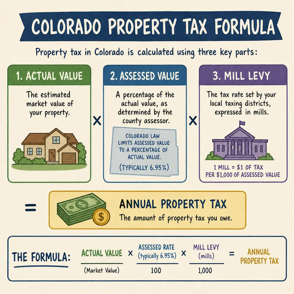
Mesa County Property Tax & Hazard Guide by ZIP
Mesa County property taxes are based on a Colorado assessment system, not a single countywide percentage you can apply to every home. Your bill depends on your property’s actual value, its assessed value, the taxing districts tied to the parcel, and any applicable local or special district levies.
· 9 min read