
Mesa County Property Tax & Hazard Guide by ZIP
Mesa County property taxes depend on the actual value and the taxing districts tied to the parcel. Use this guide to explore Mesa County taxes by ZIP code.
9 min read1,701 wordsZip Cost Ledger editorial
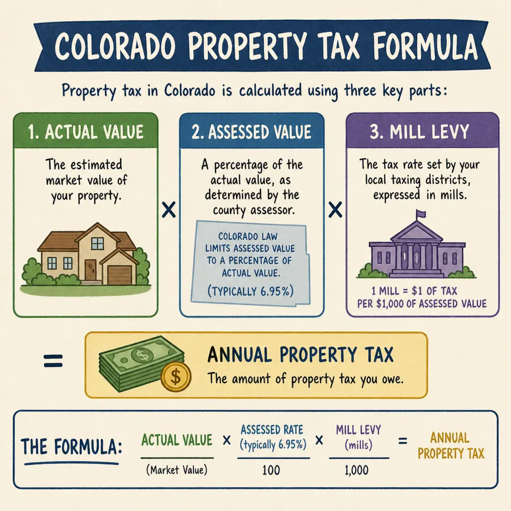
Mesa County property taxes are based on a Colorado assessment system, not a single countywide percentage you can apply to every home. Your bill depends on your property’s actual value, its assessed value, the taxing districts tied to the parcel, and any applicable local or special district levies. If you are researching Mesa County, Colorado — property tax and hazard by ZIP code, use ZIP code as a starting point, then verify the exact parcel details before budgeting, buying, or comparing neighborhoods.
How are Mesa County property tax rates calculated?
Mesa County property tax is calculated by turning a property’s actual value into assessed value, then applying the mill levies for the taxing authorities that serve that specific parcel. Colorado describes the basic property tax structure as actual value multiplied by an assessment rate, with the resulting assessed value multiplied by applicable local mill levies. (leg.colorado.gov) In Mesa County, the Assessor’s parcel lookup shows key fields such as actual value, assessed value, tax area code, school and non-school mill levies, total mill levy, and estimated property tax. (emap.mesacounty.us)
A “mill” equals one dollar of tax for every $1,000 of assessed value. That means a higher market value does not automatically explain the whole bill. Two homes with similar sale prices can owe different amounts if they sit in different school, fire, library, water, cemetery, metropolitan, or improvement districts.
Illustration of a Colorado property tax formula with actual value, assessed value, and mill levy
Why ZIP code is only a starting point
Searching for tax by zip can help you narrow an area, but ZIP codes do not set property tax rates. ZIP codes are postal delivery areas, while property taxes are tied to parcel boundaries and taxing districts. A single ZIP code in Mesa County may include multiple tax area codes, and those tax area codes can produce different property tax rates even for nearby properties.
This is especially important for larger or mixed areas around Grand Junction, Fruita, Palisade, Clifton, Orchard Mesa, Redlands, Collbran, De Beque, and rural parts of Mesa County. The practical takeaway is simple: use ZIP code for an early comparison, but use the parcel record for decisions.
When reviewing mesa county property tax information, look for:
- Actual value: the property value assigned for assessment purposes.
- Assessed value: the taxable value after Colorado’s assessment rules are applied.
- Tax area code: the parcel’s specific set of taxing authorities.
- School and non-school levies: separate components that may appear on the parcel report.
- Total mill levy: the combined mill rate applied to assessed value.
- Special assessments or water charges: extra line items that may appear for some parcels.
What actually changes your property tax bill
Several moving parts determine the final bill. Some are statewide, some are county-administered, and some are highly local.
Property value and classification
The starting point is the property’s value and classification. Residential, vacant land, agricultural, commercial, and other property types may be treated differently under Colorado property tax rules. Colorado assessment rates can also change by tax year, so it is safer to check the current year’s county record than rely on an old listing, closing statement, or real estate website estimate.
Local taxing districts
Mill levies are set by local taxing authorities, not by one single Mesa County rate. A parcel report may include county funds, school district levies, fire protection districts, library districts, water conservancy districts, hospital districts, cemetery districts, or metropolitan districts, depending on location. Mesa County parcel examples show that total mill levies can vary by tax area code; published parcel reports list totals such as 64.9200 mills for one tax area, 69.9150 mills for another, 31.4280 mills for another, and 109.6900 mills where a metropolitan district levy is present. (emap.mesacounty.us)
That variation is why “mesa property tax” searches can be misleading. A county average may be useful for broad education, but it should not be treated as the bill for a specific home.
Exemptions, abatements, and timing
Certain property owners may qualify for exemptions or other forms of tax relief, but eligibility depends on Colorado rules and county administration. Tax bills also reflect a specific tax year and collection year, so make sure you are comparing the same year when reviewing past bills, online listings, or escrow estimates. If the property changed ownership, was newly built, was reclassified, or moved into a newly formed district, the old bill may not be a reliable guide.
How to look up Mesa County property tax details
The most reliable way to understand a parcel is to search the Mesa County Assessor’s real property information system. The county’s Assessor lookup states that it includes assessed value and property tax information for real property in Mesa County and allows searches by address, parcel number, account number, owner name, neighborhood, intersection, place name, or latitude and longitude. (emap.mesacounty.us)
Use this step-by-step process:
- Start with the property address. If the address search is too broad, try the parcel or account number from a listing, deed, tax notice, or county record.
- Confirm the property identity. Check that the legal description, location, and owner or account details match the property you intend to review.
- Review actual and assessed value. These values explain the taxable base before the mill levy is applied.
- Check the tax area code. This is often more useful than ZIP code because it identifies the parcel’s taxing district combination.
- Read the taxing authority detail. Look for school, county, fire, library, water, hospital, metropolitan, and other district line items.
- Compare years carefully. A current estimated tax may use a prior year’s mill levy until new levies are finalized, so read any notes on the parcel report.
- Ask for clarification when needed. For a purchase, confirm numbers with the county, a title professional, lender, or tax advisor before relying on an estimate.
Property tax and hazard research belong together
Property tax is only one part of understanding a location. Buyers, owners, and investors should also review parcel-level hazards because floodplain status, wildfire exposure, access, slope, drainage, and insurance requirements can affect ownership costs and risk.
Mesa County has a District Lookup tool that displays location-based fields including floodplain zone and wildfire hazard. (emap.mesacounty.us) Mesa County also provides GIS flood mapping data described as FEMA floodmap and related data, including FEMA regulatory floodplain layers. (mcgis.mesacounty.us) For wildfire, the Colorado State Forest Service Wildfire Risk Viewer is designed to help users view wildfire risk, local fire history, and location-based potential fire intensity. (tra-co-pub.coloradoforestatlas.org)
For a stronger property review, pair your tax research with this hazard checklist:
- Search the parcel in the county assessor system.
- Check floodplain status through county GIS or FEMA-related mapping.
- Review wildfire hazard using county tools and the Colorado wildfire viewer.
- Look for special district levies that may fund fire protection, water, roads, or infrastructure.
- Ask your insurance agent whether the location affects premiums or coverage options.
- For vacant land, confirm buildability, access, utilities, drainage, and zoning before relying on tax data alone.
Mesa County, Colorado is not Mesa, Arizona
One common search mix-up is confusing Mesa County, Colorado with the City of Mesa in Arizona. Searches such as “mesa az property tax” and “city of mesa property taxes” point to a different government structure, different counties, and different tax rules. The City of Mesa, Arizona notes that its property taxes are billed by and paid to the Maricopa County Treasurer’s Office. (mesaaz.gov)
That distinction matters for SEO research and for real-life budgeting. Mesa County property tax is part of the Colorado property tax system, while Mesa, Arizona property tax is tied to Arizona rules and Maricopa County billing. If your property is in Grand Junction, Fruita, Palisade, Clifton, or another Mesa County community, focus on Colorado and Mesa County sources.
A practical way to compare neighborhoods
If you are comparing homes across Mesa County, do not stop at the listing price. Pull the parcel details for each property and compare the total mill levy, assessed value, recent tax history, and district line items. Then review hazard layers so you understand whether the property sits near a floodplain, in a higher wildfire hazard area, or within a district that may carry a notable levy.
A simple comparison process works best:
- Choose two or three properties in the same price range.
- Look up each parcel’s tax area code and total mill levy.
- Note any special district or metropolitan district line items.
- Compare current and prior-year tax amounts.
- Review floodplain and wildfire hazard indicators.
- Estimate ownership cost with taxes, insurance, utilities, and maintenance together.
This approach gives you a clearer picture than a broad property tax by ZIP code estimate. It also helps explain why two homes that seem similar online may feel very different once taxes and risk factors are included.
Key takeaway
Mesa County property tax rates are best understood at the parcel level. ZIP code searches, county averages, and real estate listing estimates can help with early research, but they cannot replace the property’s assessed value, tax area code, taxing authority detail, and current county records. For the most useful view, combine Mesa County property tax research with hazard checks so you understand both the annual tax burden and the location-based risks that may affect ownership.
Common questions
Does a higher market value always mean higher Mesa County property taxes than a neighbor?
Not automatically. While value is a key factor, a home might owe less if it sits in a tax area with a lower combined mill levy, or if the owner qualifies for specific exemptions like those for seniors or disabled veterans.
What is a mill levy on my Mesa County property tax statement?
A mill levy is the tax rate applied to your assessed value. One mill represents one dollar of tax for every $1,000 of assessed value. Your total mill levy is the sum of all local districts serving your property.
Can I rely on the prior owner's tax bill to estimate my future property taxes?
Relying solely on a past bill is risky. The prior owner might have had exemptions you do not qualify for, or the property may face a new valuation cycle or local budget changes that will alter the future tax amount.
Related guides
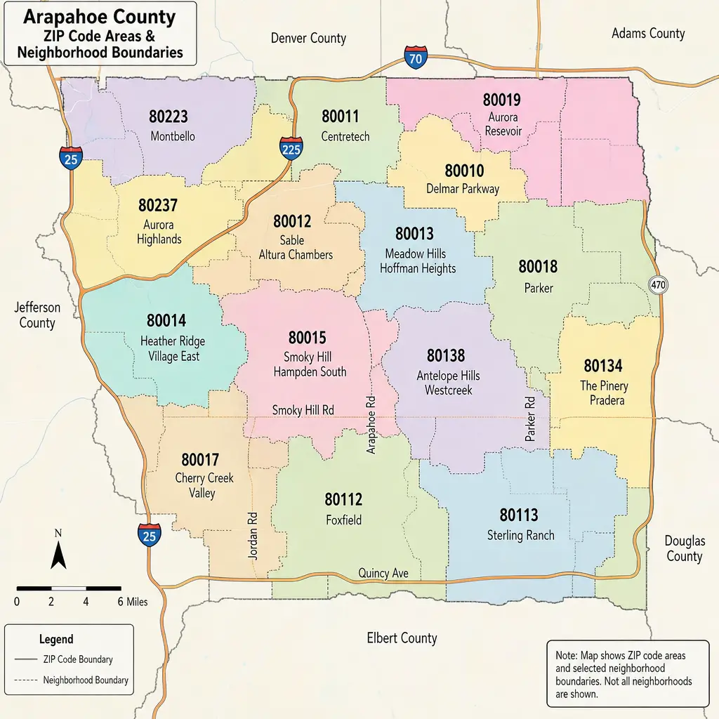
Arapahoe County CO Property Tax and Hazard by ZIP Code
If you are researching Arapahoe County, Colorado — property tax and hazard by ZIP code, the first thing to know is that ZIP codes are useful for organizing a search, but they do not set your tax bill by themselves. Arapahoe County property tax is based on your property’s value, its classification, and the taxing districts attached to the parcel.
· 9 min read
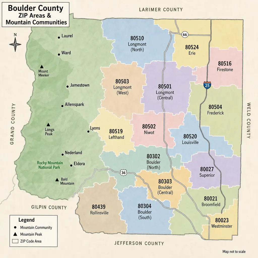
Boulder County Property Tax Guide: Rates & Hazards by ZIP
Boulder County property taxes can look different from one ZIP code to the next, but ZIP codes are only a starting point. The real bill is driven by a property’s actual value, Colorado assessment rules, and the specific school, city, fire, library, water, and special districts tied to that parcel. This guide explains how to read Boulder County taxes by area, how hazard considerations fit into the picture, and what to check before buying, budgeting, or comparing homes.
· 9 min read
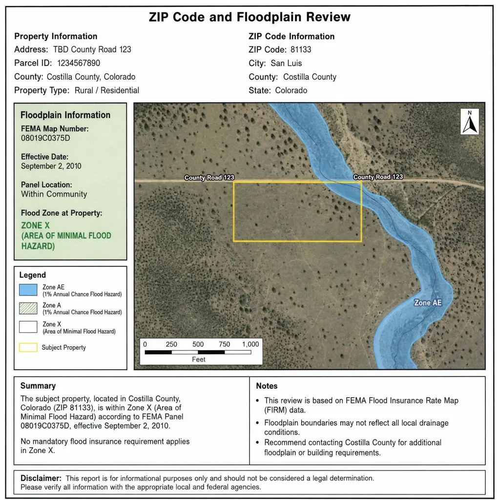
Morgan County Property Tax & Hazard Guide: ZIP Code Insights
Property taxes in Morgan County, Colorado are shaped by your property’s actual value, its state-defined assessment rate, and the mill levies charged by the county, school district, municipality, and special districts that serve your parcel. That is why two properties with similar market values can have different bills when they sit in different tax areas, school boundaries, or service districts. This guide explains how Morgan County property tax works, how to read property tax rates, and why pairing tax by ZIP with a hazard assessment can give homeowners, buyers, and investors a clearer view of total property risk.
· 9 min read