
Carroll County NH Property Taxes: ZIP Code & Hazard Insights
Explore Carroll County, New Hampshire property tax intricacies by ZIP code. Discover how municipal boundaries, rates, and hazards impact ownership costs.
7 min read1,394 wordsZip Cost Ledger editorial
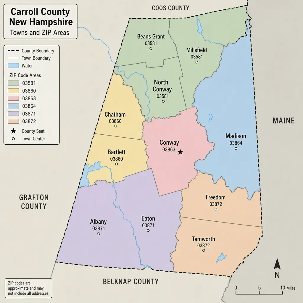
Carroll County property taxes are best understood by town first and ZIP code second. ZIP codes help organize a zip code analysis for buyers, owners, and investors, but New Hampshire property tax bills are driven by municipal boundaries, school districts, county apportionment, and assessed value. This guide explains how Carroll County taxes work, why the same ZIP can be misleading, and how hazard data can add useful context when evaluating Carroll County property.
How do Carroll County property taxes work?
Carroll County property taxes are calculated from a local tax rate applied to assessed value, usually expressed as dollars per $1,000 of assessed value. In New Hampshire, a typical property tax rate includes several components: municipal, local education, state education, and county tax rates, rather than one single “county tax” number. The New Hampshire Department of Revenue Administration publishes municipal and village district tax rate data and related reports, which makes it the key source for checking current NH property tax information. (revenue.nh.gov)
That structure matters because “Carroll County taxes” can mean different things in casual conversation. A homeowner may be talking about the total bill, the county portion of the rate, or the town’s full combined tax rate. For planning purposes, focus on the total rate for the correct municipality and then confirm the parcel’s assessment with the town.
The simple estimate is:
- Find the property’s assessed value.
- Divide that value by 1,000.
- Multiply the result by the town’s total property tax rate.
- Adjust for exemptions, credits, special districts, or updated assessments if they apply.
For example, a home assessed at $400,000 in a town with a $10.00 rate would have an estimated annual tax of $4,000 before any adjustments. The same assessment in a town with a $15.00 rate would estimate at $6,000. That is why property tax rates matter, but they should never be read without the assessed value.
ZIP code analysis is useful, but towns set the tax context
A Carroll County, New Hampshire — property tax and hazard by ZIP code review can be helpful when comparing areas such as Wolfeboro, Moultonborough, Conway, Ossipee, Tamworth, Freedom, and Bartlett. ZIP codes are familiar, searchable, and useful for grouping properties. However, ZIP code taxes are not official tax districts.
The practical issue is that ZIP areas can cross or blur municipal boundaries. A mailing address may use one village or postal name while the parcel is taxed by a different town. For instance, Carroll County includes ZIPs associated with places such as 03894 Wolfeboro, 03254 Moultonborough, 03818 Conway, 03860 North Conway, 03814 Center Ossipee, 03864 Ossipee, 03882 Effingham, 03886 Tamworth, 03836 Freedom, and 03227 Center Sandwich, among others. Third-party ZIP datasets list many Carroll County ZIP areas, but the tax bill still depends on the municipality where the parcel sits. (zip-codes.com)
That is why a ZIP-based search should be treated as a first filter, not the final answer. If you are comparing homes in 03894, 03254, or 03818, verify the town, tax map and lot, current assessment, and the most recent local tax rate before estimating ownership cost.
Recent rate examples show why location details matter
Recent published tax-rate examples show the range that can exist across Carroll County. The state’s 2025 municipal tax-rate materials list the Town of Carroll at $12.08 per $1,000, and the Town of Carroll’s tax collector page also states that its 2025 tax rate is $12.08 per thousand. (hudsonnh.gov)
Other Carroll County towns can have materially different rates. Third-party summaries that cite New Hampshire Department of Revenue Administration data list 2025 examples such as Albany at $6.99 and Bartlett at $6.02, while real estate data publishers also caution that nominal rates should not be confused with equalized rates or with actual tax bills. (thedowgroup.com)
The takeaway is not that the lowest visible rate is always the cheapest place to own. A lakeside, mountain-view, or vacation-market property can have a higher assessed value even in a town with a lower rate. A modest home in a higher-rate town may still produce a lower annual bill than a premium property in a lower-rate town.
What should you check before relying on zip code taxes?
Before using zip code taxes to compare Carroll County property, confirm the underlying parcel facts. A ZIP code can guide your search, but the town record controls the tax calculation.
Use this checklist:
- Municipality: Confirm the actual town, not only the mailing city or village name.
- Tax map and lot: Use the parcel identifier from the town assessor or tax collector.
- Assessed value: Check whether the current assessment reflects a recent revaluation, new construction, or land change.
- Total tax rate: Use the latest published municipal rate, including school, municipal, county, and state education components.
- Exemptions and credits: Ask whether elderly, veteran, disabled, blind, solar, or other local exemptions may apply.
- Village or precinct charges: Some areas may have additional district considerations, so verify locally.
- Billing schedule: Ask when bills are issued and whether the town bills once or twice per year.
- Pending changes: Budget votes, school district costs, and reassessments can change the next bill.
For records research, the Carroll County Registry of Deeds is useful for deeds, mortgages, plans, and other land records, but its search guidance notes that records are indexed by names, and if only the property location is known, the town office can help determine ownership. (nhdeeds.org)
Hazard context belongs beside tax context
A smart Carroll County property review does not stop at the tax rate. Hazard exposure can affect insurance needs, maintenance planning, financing questions, and long-term ownership risk. FEMA’s National Risk Index is designed to help illustrate communities most at risk from natural hazards and includes information such as expected annual loss, social vulnerability, and community resilience at county or Census tract levels. (fema.gov)
For Carroll County, a public county-level summary based on FEMA National Risk Index v1.20 lists an overall “Relatively Low” FEMA risk rating, with selected hazard scores showing hurricane and flood higher than wildfire or tornado. It reports a composite NRI score of 71.0 on a 0–100 relative scale, with flood shown at 82.0 and hurricane at 86.4 among the selected categories. (riskbycounty.com)
Those numbers should be read as broad context, not as a parcel-level determination. A property near a river, lake, steep drainage area, private road, or exposed ridge may have very different risk factors than another property in the same ZIP code. For flood questions, FEMA directs property owners to use the Flood Map Service Center by address, and it notes that high-risk flood zones generally begin with the letters A or V on FEMA flood maps. (dejavu.org)
ZIP-level comparisons are strongest when they combine cost and risk
The best zip code analysis blends tax, value, and hazard information instead of ranking places by one number. A buyer comparing 03254 Moultonborough and 03894 Wolfeboro may care about lake access, assessed value, school and municipal costs, and flood insurance. Someone comparing 03818 Conway, 03860 North Conway, and 03845 Intervale may also weigh tourism demand, road access, winter weather, and short-term rental considerations where allowed.
A balanced comparison should ask:
- What town taxes this parcel?
- What is the current assessed value?
- How does the assessment compare with the likely purchase price?
- Is the property in or near a mapped flood zone?
- Are there private roads, steep driveways, shoreland rules, or older septic systems to evaluate?
- Could insurance, maintenance, or mitigation costs offset a lower tax rate?
This approach makes Carroll County property taxes more understandable because it connects the annual bill to real ownership conditions. A low rate can look attractive, but total cost depends on property value, risk, infrastructure, and the buyer’s intended use.
Practical takeaways for Carroll County owners and buyers
Carroll County property taxes are local, layered, and highly parcel-specific. ZIP codes are useful for organizing research, but they do not replace town-level tax records or parcel-level hazard checks. Start with the ZIP, confirm the town, verify the assessment, and then review official tax-rate and hazard resources.
If you are buying, refinancing, appealing an assessment, or comparing towns, do not rely on a single online rate pulled from a ZIP search. Pair current NH property tax data with town records, deed research, and FEMA flood or hazard tools. That gives you a clearer view of Carroll County taxes, the likely annual cost of ownership, and the risks that may shape your long-term decision.
Related guides
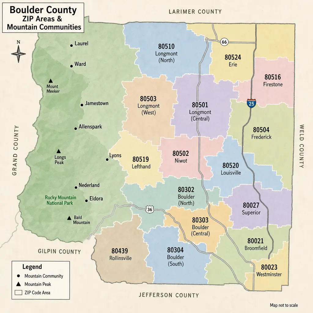
Boulder County Property Tax Guide: Rates & Hazards by ZIP
Boulder County property taxes can look different from one ZIP code to the next, but ZIP codes are only a starting point. The real bill is driven by a property’s actual value, Colorado assessment rules, and the specific school, city, fire, library, water, and special districts tied to that parcel. This guide explains how to read Boulder County taxes by area, how hazard considerations fit into the picture, and what to check before buying, budgeting, or comparing homes.
· 9 min read
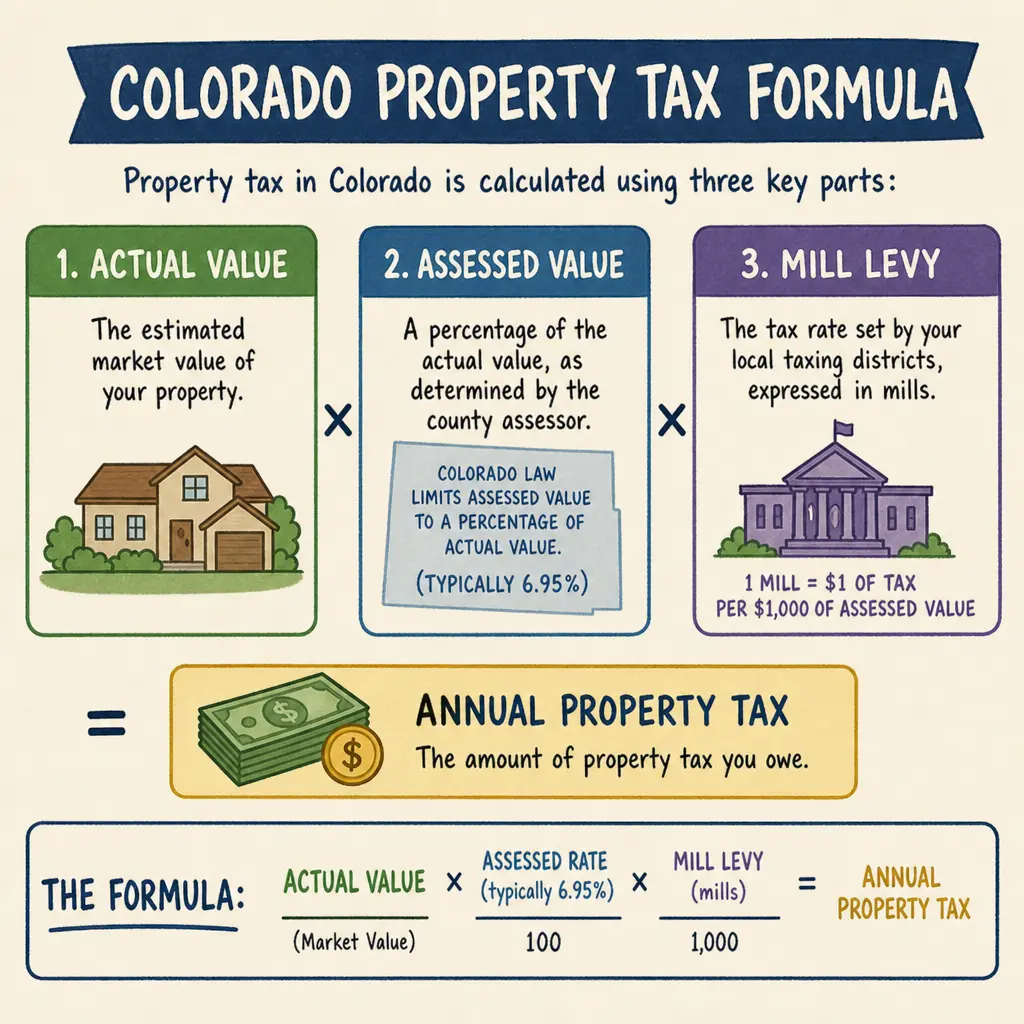
Mesa County Property Tax & Hazard Guide by ZIP
Mesa County property taxes are based on a Colorado assessment system, not a single countywide percentage you can apply to every home. Your bill depends on your property’s actual value, its assessed value, the taxing districts tied to the parcel, and any applicable local or special district levies.
· 9 min read
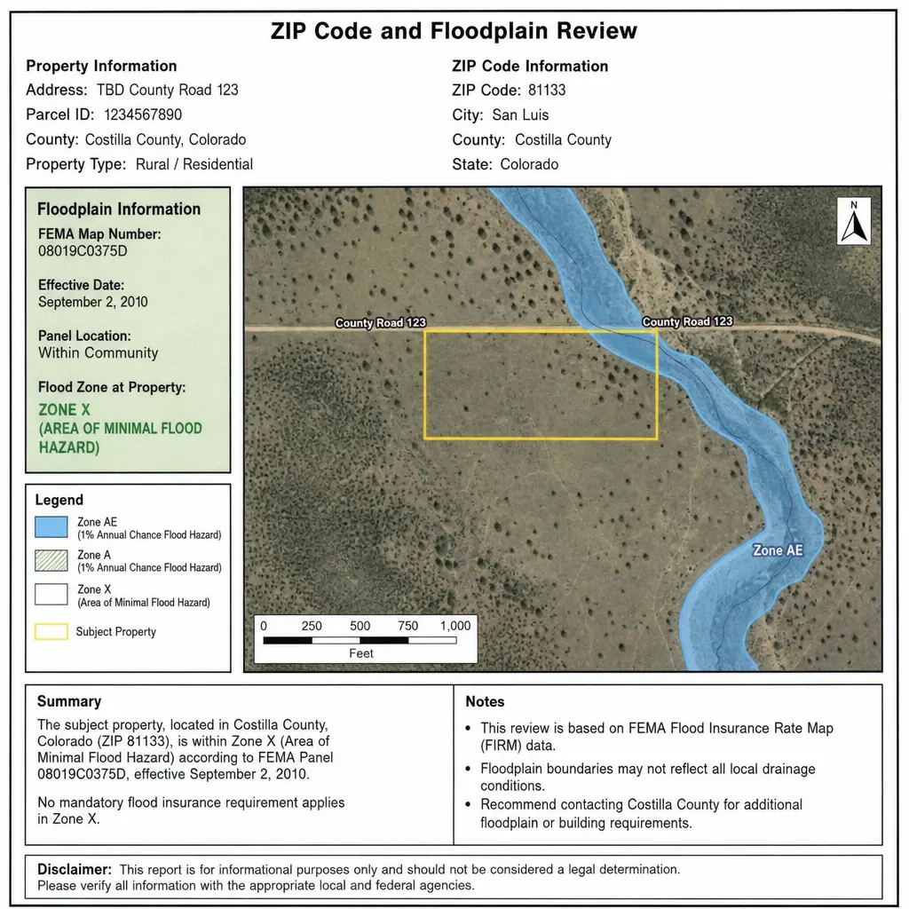
Morgan County Property Tax & Hazard Guide: ZIP Code Insights
Property taxes in Morgan County, Colorado are shaped by your property’s actual value, its state-defined assessment rate, and the mill levies charged by the county, school district, municipality, and special districts that serve your parcel. That is why two properties with similar market values can have different bills when they sit in different tax areas, school boundaries, or service districts. This guide explains how Morgan County property tax works, how to read property tax rates, and why pairing tax by ZIP with a hazard assessment can give homeowners, buyers, and investors a clearer view of total property risk.
· 9 min read